Map & Driving directions to Outdoor Skills And Thrills rock climbing locations
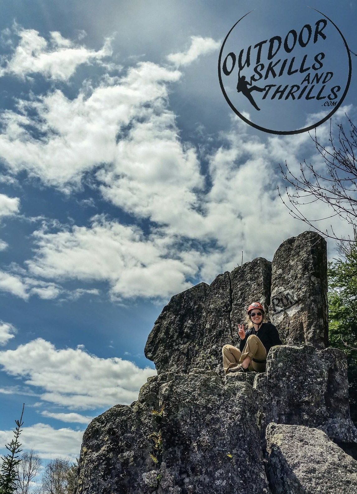
The Bluffs – GPS: 48.471284, -89.202274
To find using Google Maps CLICK HERE, or type in ‘Your Location’ to ‘The Bluffs – Thunder Bay’ or the GPS coordinates
There are a number of ways to get to The Bluffs either by vehicle, bike or by foot. These are driving directions which begin from the HWY 11/17 & Harbour Expressway intersection. Head east on the 11/17 for 12.3 km (7.6 mi) and exit right (south) at Hodder Avenue. Drive down Hodder Ave for 1.5 km (0.9 mi) until you reach a 4-way stop at Hodder Ave. & Arundel Street; make a right onto Arundel. Continue for 1.5 km (0.9 mi) on Arundel until you reach a bridge going over the Current River. As soon as you’ve gone over this bridge you will make an immediate right on to an unnamed/unmarked road. Drive up this road uphill to the scenic lookout and parking lot at the top. You have arrived!
Parking is available at the top of the hill in the parking lot.
Silver Harbour – GPS: 48.509831, -88.975475
To find using Google Maps CLICK HERE, or type in ‘Your Location’ to ‘Silver Harbour Conservation Area‘ – Thunder Bay’ or the GPS coordinates.
These are driving directions which begin from the HWY 11/17 & Harbour Expressway intersection. Drive east on ‘HWY 11/17’ for 16 km (10 mi) and exit right on to Spruce River Road. Drive down Spruce River Rd. for 1.3 km (0.8 mi) until you arrive to a stop sign at the T-Junction (Spruce River Road and Lakeshore Dr). Turn left on to Lakeshore Dr.
Drive down Lakeshore Dr for 11.7 km (7.3 mi) and turn right on to Silver Harbour Road (there are signs for ‘Silver Harbour Conservation Area’ just before this turn off). Continue down to the end of Silver Harbour Rd for 1.3km (0.8 mi) to arrive at the Silver Harbour Conservation Area. You’ve arrived!
Parking is available at the Silver Harbour Conservation Area parking lot.

Pass Lake – GPS: 48.564851, -88.731092
To find using Google Maps CLICK HERE, or type in ‘Your Location’ to ‘Karen’s Kitchen – Pass Lake’ or use GPS coordinates.
These are driving directions which begin from the HWY 11/17 & Harbour Expressway intersection. Drive east on ‘HWY 11/17’ for 46 km (28.5 mi) and turn right on to ‘HWY 587’ (look for ‘Pass Lake’ sign). There is a ‘Flying J/Shell Gas Station’ on the westbound side of HWY 11/17. Head down ‘HWY 587’ for 6.5 km (4 mi) until you see a nice little lake on your right, this is the Pass lake (there is also a sign that says ‘Pass Lake’). You will see the cliffs on the left (north) side of the road. You have arrived!
Parking for climbers is at the large gravel pullout on the left hand (north) side of the road, directly across from ‘Karen’s Kitchen’. Please park as organized as possible so that other climbers can fit their vehicles as well. If this spot is full you can park anywhere along the cliff-side of the road, but make sure you are well off the shoulder to avoid any accidents.
Claghorn – GPS: 48.921444, -88.565278
To find using Google Maps CLICK HERE: type in ‘Your Location’ to ‘48.921444, -88.565278’
These are driving directions which begin from the HWY 11/17 & Harbour Expressway intersection in Thunder Bay. Drive east on ‘HWY 11/17’ for 82 km (51 mi) and turn left on to Black Sturgeon Road. At the stop sign make a right to continue on Black Sturgeon Road and follow this for 9.3 km (5.8 mi) to arrive at the parking area on your right with a campsite and trail head for the Outward Bound Wall. You have arrived!
If your guide specifically told you that you are heading to the Long Wall, you will want to stop at a clearing with a great view of the cliffs just 1.6 km (0.9 mi) before the Outward Bound parking area/campsite. To find using Google Maps, type in ‘Your Location’ to ‘48.907590, -88.565403’
Dorion Tower – Driving Directions
These are driving directions which begin from the HWY 11/17 & Harbour Expressway intersection in Thunder Bay. Drive east on ‘HWY 11/17’ for 70 km (44 mi) and turn left on to Ouimet Canyon Road. There is a small pullout on the right hand side of the road immediately after turning off the highway. Stop here – this is where you are meeting your guide. Follow your guide for 3.7 km (2.3 mi) and turn right on to Valley Road. Continue for another 2.7 km (1.7 mi) and turn left on to Tower Road (unmarked road). From here, the road to the parking area has some rough sections, high clearance vehicle (such as SUV or Pickup Truck) is recommended, but not required. Low clearance vehicles like sedans might have a hard time getting to the final parking area. Continue for another 2.7 km (1.7 mi) and park on your right at a small clearing just before a gate. You have arrived!
Orient Bay – Driving Directions
To find the meeting location using Google Maps CLICK HERE, or type in ‘Your Location’ to ‘Tim Hortons Nipigon’.
These are driving directions which begin from the HWY 11/17 & Harbour Expressway intersection in Thunder Bay. Drive east on ‘HWY 11/17’ for 113 km (70 mi) and turn left into the Tim Hortons coffee shop parking lot. Stop here – this is where you are meeting your guide. From here follow your guide to the final parking spot. You have arrived!